With the rapid development of science and technology, UAV technology, by virtue of its unique advantages, has demonstrated strong application potential in many fields, among which geological survey is an important stage for it to shine.

UAV provides an efficient and accurate means of geological survey by carrying professional equipment for mapping and data analysis of terrain and landscape.
1. High-Precision Surveying and Mapping
Combining photogrammetry and LIDAR scanning technology, UAV can quickly and accurately obtain topographic and geomorphological information, reduce the workload of manual survey, and improve data integrity and accuracy.
2. Adapt to Complex Environment
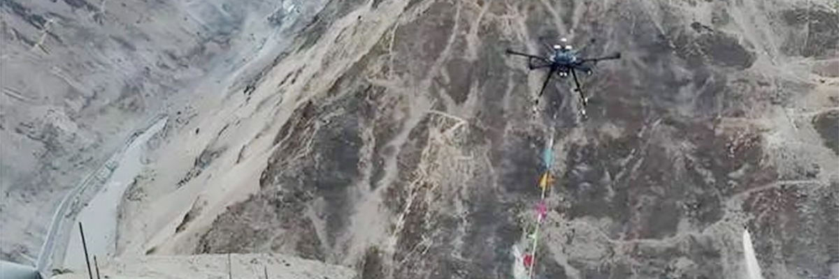
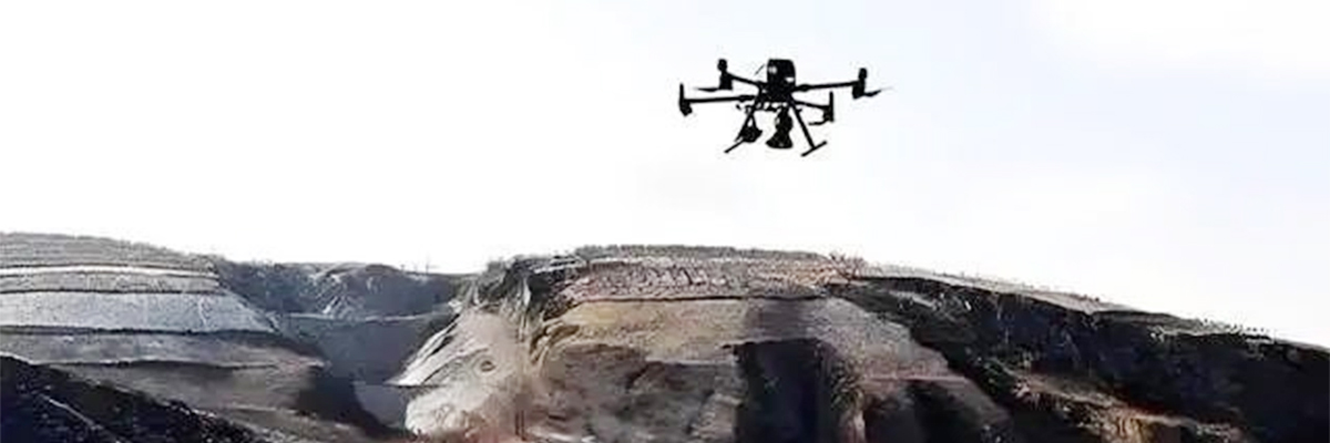
Geological survey environments are often inaccessible and full of safety risks, UAVs collect data through the air, eliminating the need for most manual surveys, improving operational efficiency and ensuring personnel safety.
3. Comprehensive Coverage
UAV can comprehensively cover the entire geological survey site and obtain comprehensive and complete geographic information, compared with the traditional way of obtaining only part of the information, UAV survey has significant advantages.
4. Efficient Operation
Modern UAVs have long flight time and efficient data processing capability, which can complete the task of mapping large areas in a short period of time. Many portable mapping UAVs can complete 2 square kilometers of 2D orthophoto data acquisition in a single sortie.
5. Real-Time Monitoring
UAVs can fly around the mining area regularly or in real time to acquire high-resolution image data, which can be used to compare landforms, vegetation, water bodies, etc. at different points in time, so as to monitor changes in the environment.
6. Environmental Monitoring
UAVs also play an important role in environmental monitoring, such as in water quality surveys, atmospheric environment monitoring, ecological protection monitoring, etc. The image data generated by UAV aerial photography is used to effectively monitor the development of mineral resources.
Post time: Sep-24-2024