Water Utilities
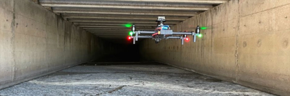
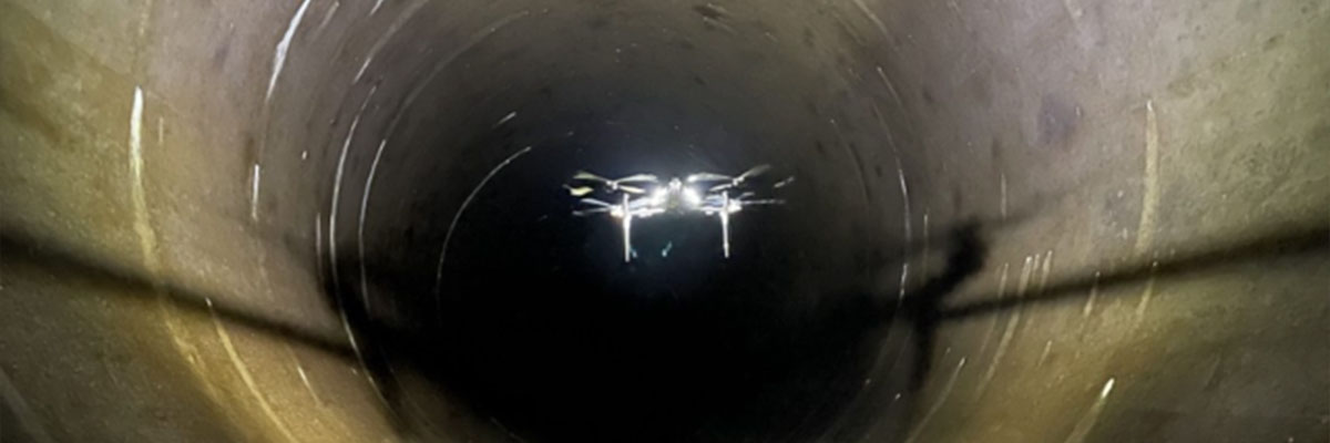
Water supply networks are large infrastructures extending over thousands of kilometers. This critical infrastructure requires regular inspections and maintenance to ensure that it functions properly. These activities often pose serious risks to the personnel responsible for operating the infrastructure. Autonomous drones are able to navigate, explore and digitize hazardous underground areas on their own, avoiding personnel entry and making the inspection process safer and faster.
Hydroelectricity
Hydroelectric power generation involves a large number of underground pipes and water tunnels. Inspection of this critical infrastructure takes time and requires specially trained personnel. Some activities also involve human risk, such as inspecting vertical or inclined pressure water pipes typically found in hydroelectric plants. Autonomous unmanned robots are capable of completing an entire pressure water pipe inspection in less than an hour, or collecting data along 7 kilometers of hydro tunnels in a single flight, without human intervention.

Mining
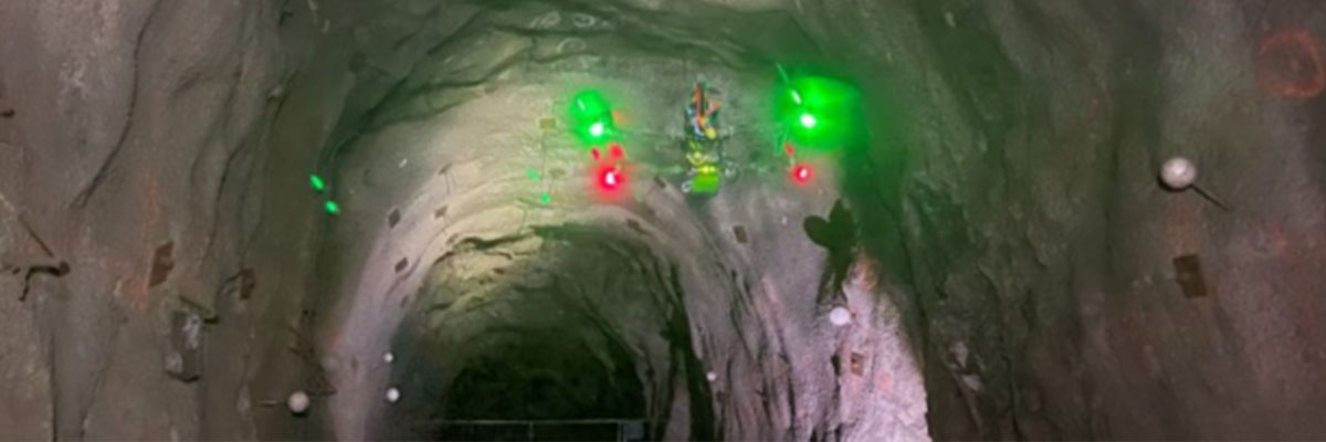
Obtain 3D models of ore transportation corridors and quarries in just a few minutes. Generate geo-referenced point clouds of hazardous or off-limits areas.
Civil Engineering
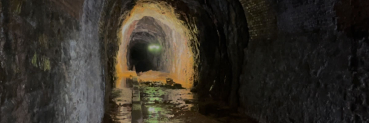
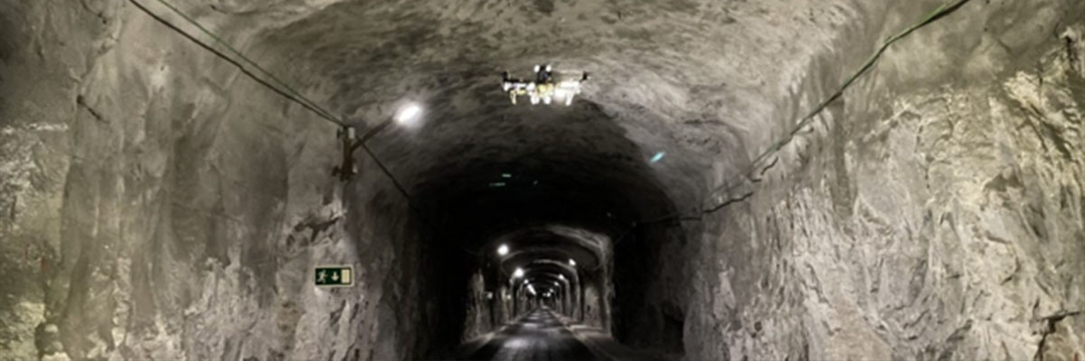
Generate highly detailed 3D digital models of tunnels under construction or underground infrastructure in need of rehabilitation. Safer, faster and more accurate autonomous surveys. Combined use of point clouds and geo-located high-resolution images for geological and rock mechanical analysis.
3D Mapping Systems
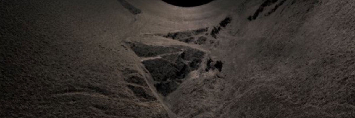
Autonomous flying robots are capable of capturing data through vertical scenarios, such as ore passages, which are commonly used to transport material between different vertical heights during underground mining activities. The resulting information from autonomous underground exploration is a 3D model that includes real-time point cloud visualization for rapid site assessment, as well as a high-density 3D model in a standard file format that includes high-definition textures of the rock surface. The point cloud, combined with geolocation information, provides absolute geographic information for the model that can be used in subsurface survey work, while the texture model allows geologists and engineers to analyze the surface condition and use this information in rock mechanics analyses to prevent future problems.
Autonomous Drone Features
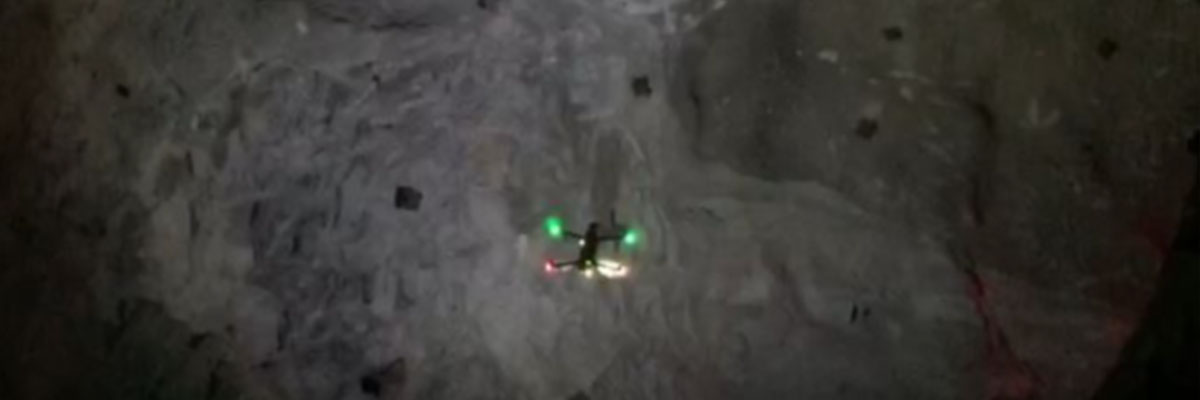
Lightweight, requires no human intervention, and can explore vertical ore passages and similar scenarios without the need for radio communication, even in low light and GNSS-absent conditions. The drone can fly through narrow passages as small as 1.5 meters in diameter, generating survey-grade 3D models with no risk to miners.
Post time: Jan-02-2025