In the face of frequent natural disasters, traditional means of rescue are often difficult to respond to the situation in a timely and efficient manner. With the continuous progress and innovation of science and technology, drones, as a brand new rescue tool, are gradually playing an important role.
1. Emergency Lighting & Emergency Communications
Emergency Lighting:
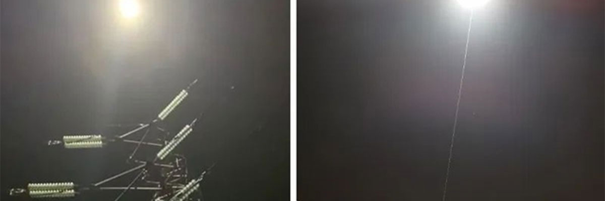
In natural disasters or accident sites, the power supply may be interrupted, at this time 24 hours hovering tethered lighting drone can be quickly deployed, through the long endurance drone with searchlight collocation, to provide necessary lighting for rescuers to help search and rescue and clean up work.
The drone is equipped with a matrix lighting system that provides effective illumination up to 400 meters. It can be used for search and rescue missions to help find missing persons or survivors at disaster sites.
Emergency Communications:
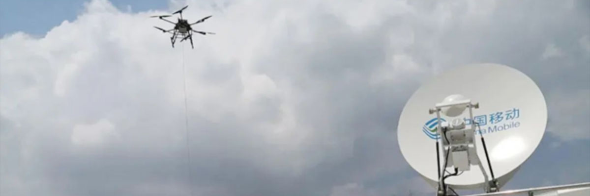
Facing problems such as damage to the wireless communication system in large areas on the ground. Long-endurance drones paired with miniaturized communication relay equipment can quickly and effectively restore the communication function of the affected area, and transmit information from the disaster site to the command center in the first time by means of digital, text, picture, voice and video, etc., to support the decision-making of rescue and relief.
The drone is lifted to a certain altitude, using specific airborne networking communication algorithms and technologies and backbone transmission networks to directionally restore mobile public network communications over several to dozens of square kilometers, and to establish an audio and video communication network covering a wide range.
2. Professional Search and Rescue
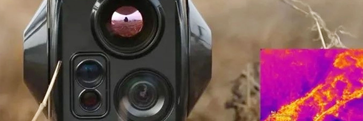
Drones can be used in personnel search and rescue to search large areas with their on-board cameras and infrared thermal imaging equipment. Rapid 3D modeling covers the ground and helps search and rescue personnel discover the location of stranded people through real-time image transmission. Accurate information is obtained through AI recognition technology as well as laser ranging technology.
3. Emergency Mapping
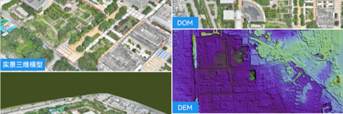
Traditional emergency mapping in natural disaster scenarios has a certain lag in acquiring the situation at the disaster site, and is unable to locate the specific location of the disaster in real time and determine the scope of the disaster.
Drone mapping carrying pods for inspection can realize modeling while flying, and the drone can land to obtain highly presentable two- and three-dimensional geographic information data, which is convenient for rescuers to intuitively understand the real situation at the scene, assist in emergency rescue decision-making, avoid unnecessary casualties and property losses, effectively implement early warning and on-site investigation, and quickly and accurately carry out rescue or event disposal.
4. Material Delivery
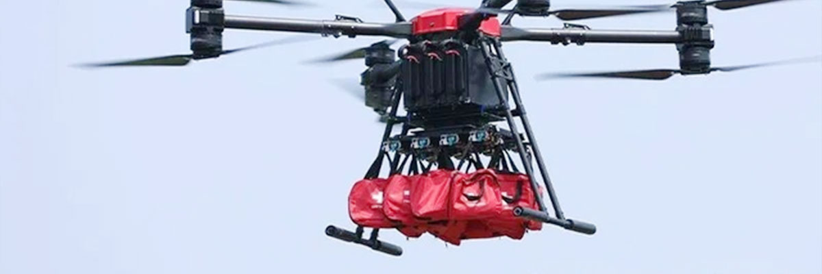
The occurrence of natural disasters such as floods and earthquakes is highly likely to trigger secondary disasters such as mountain collapses or landslides, resulting in paralyzed ground transportation and vehicles that cannot normally carry out large-scale material distribution on ground roads.
Multi-rotor large-load drone can be unrestricted by terrain factors, difficult to reach the manpower after the earthquake in the area of material distribution drone involved in emergency relief supplies transportation and delivery.
5. Shouting in the Air
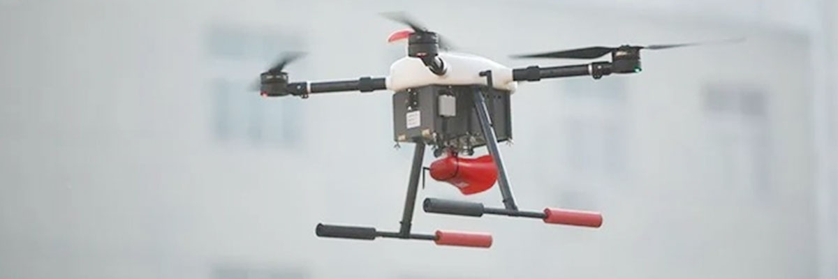
The drone with the shouting device can instantly respond to the rescuer's call for help and relieve the rescuer's nervousness. And in case of an emergency, it can induce people to take refuge and guide them to move to a safe area.
Post time: Nov-26-2024