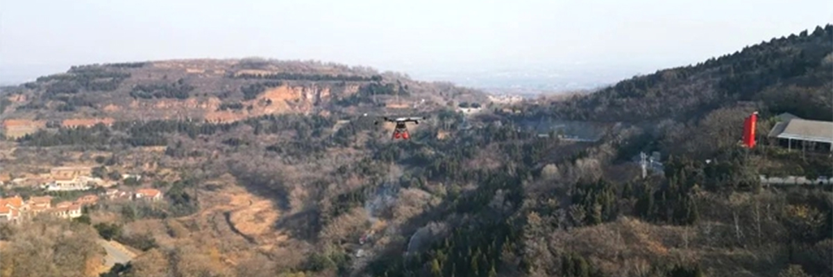
The application of drone technology in the field of forest firefighting is developing rapidly, gradually showing its unique and significant advantages, especially in the two core aspects of emergency warning and rapid firefighting. Traditional forest firefighting methods often face complex terrain, manpower deployment difficulties and other difficulties, resulting in early detection, rapid response and effective control of fire when it occurs. The aerial emergency warning and fire fighting system is precisely aimed at these pain points, utilizing UAVs to realize real-time dynamic monitoring of forest fires, accurate early warning and efficient fire-fighting functions, so as to enhance the ability and efficiency of forest fire prevention and control.

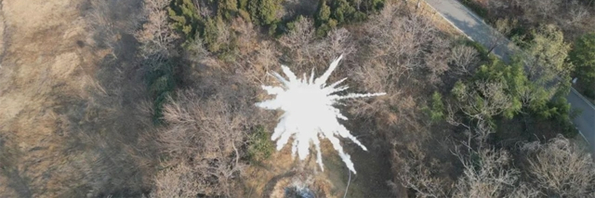
The early warning system realizes rapid response and efficient handling of forest fires by integrating drones, HD pods, fire-fighting bombs, and a cloud management inspection platform for drones. It significantly improves the accuracy and timeliness of fire warning, and also enables the rapid implementation of precise fire-fighting operations after a fire occurs, effectively curbing the spread of the fire.
1. Technical Points
Relying on high-definition cameras and image processing algorithms, the visual recognition technology is capable of keenly capturing visual features such as form, color and texture of various objects in the forest area. In forest firefighting scenarios, it can accurately distinguish vegetation, wildlife, potential abnormal smoke, fire and other suspicious signs by continuously collecting and deeply analyzing massive image data, so as to build the first line of defense for early detection of fire.
2. Function Points
Precise Identification and Fire-Fighting in One

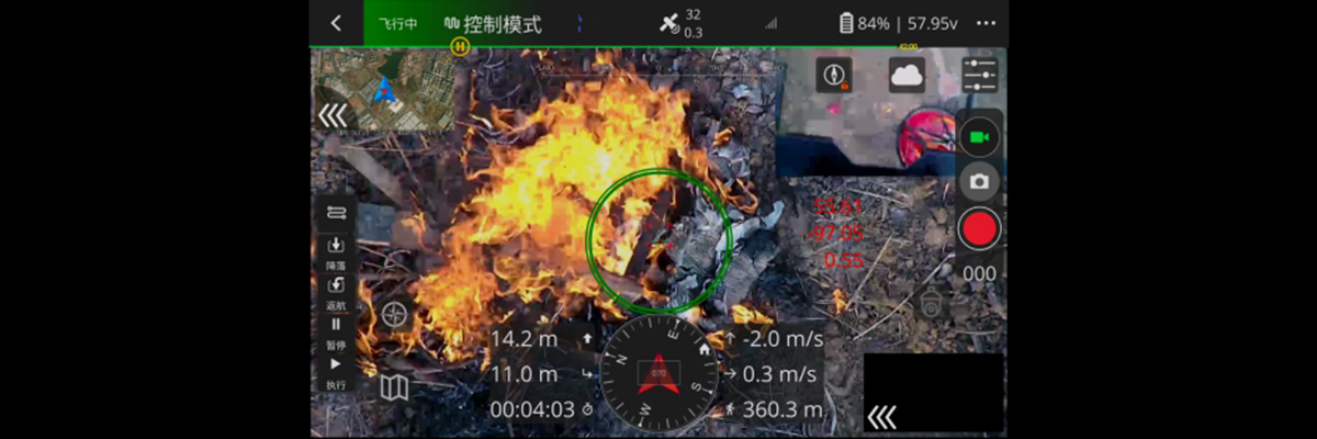
The drone combines the dual tasks of reconnaissance and firefighting. Based on the preset patrol routes, the drone carries zoom pods and firefighting bombs, and carries out all-around inspections of the forest area. Once the traces of the fire source are keenly captured, the UAV immediately locks the approximate location of the fire point by virtue of its own powerful computing ability, and at the same time, quickly opens the “secondary search mode” of the visual recognition function, utilizing the high-resolution camera and algorithms to carry out a more detailed positioning of the fire source, and obtains the actual coordinates of the fire point according to the visual triangulation. The coordinates are obtained according to the visual triangulation, and the aircraft flies to the fire point and prepares to throw fire extinguishing bombs.
Precision Fire Fighting Execution
After accurate positioning is completed, the precise geographic coordinates of the fire source are obtained. Based on the coordinates, the drone can fly along the optimal path to the top of the fire point, calibrate the throwing angle, and prepare to release the fire extinguishing bomb.
Synergistic Operation
Forest inspection can integrate multiple UAVs, which are uniformly dispatched by the UAV cloud management inspection platform, reasonably allocating the patrol area of each UAV to ensure that the forest inspection area is not missed. During daily patrols, each drone performs its own duties, carries out tasks in accordance with the routes, and shares the collected images, data and other information in real time.
Post time: Jan-07-2025