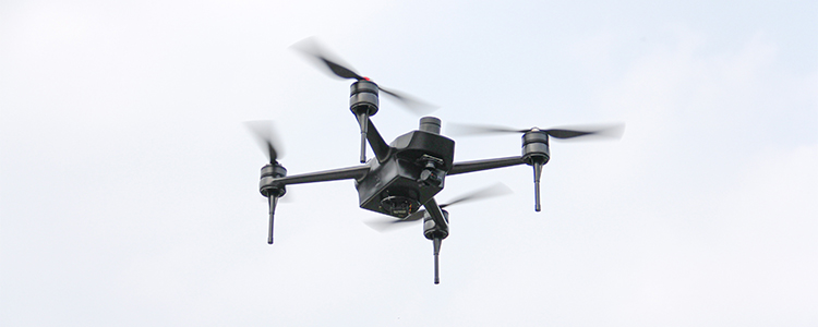
With more and more professional land construction and the increasing workload, the traditional surveying and mapping program has gradually appeared some shortcomings, not only affected by the environment and bad weather, but also facing problems such as insufficient manpower, which has been difficult to meet the needs of today's specialization, and drones are also used more and more in the related fields because of their mobility, flexibility, adaptability and other characteristics.
The drone mounted camera gimbal (visible camera, infrared camera) multispectral scanner and synthetic aperture radar collect image data, and after professional technical software processing, it is able to construct a three-dimensional surface model. Users can directly access the geographic information of features and buildings to obtain a real 3D city model. In the construction of smart city, the decision makers can analyze the surrounding environment and lots through the real 3D city model, and then realize the site selection and planning management of key buildings.
Main Applications of Drones in Engineering Mapping
1. Line selection design
Drone mapping can be applied to electric power routing, highway routing and railroad routing, etc. According to the project requirements, it can quickly obtain line drone aerial images, which can quickly provide design data for routing. In addition, industrial drones can also be used for oil and natural gas pipeline routing design and monitoring, while the use of pipeline pressure data combined with images can also be found in a timely manner such as pipeline leakage phenomena.
2. Environmental analysis
The use of drones to realize the visualization of the environment around the project, light analysis and analysis of the effect of architectural realism.
3. Post-operation and maintenance monitoring
Post-operation and maintenance monitoring includes hydropower dam and reservoir area monitoring, geological disaster inspection and emergency response.
4. Land Surveying and Mapping
UAV mapping is applied to dynamic monitoring and investigation of land resources, updating of land use and coverage maps, monitoring of dynamic changes in land use, and analysis of characteristic information, etc. Meanwhile, high-resolution aerial images can also be applied to regional planning.
UAV mapping is gradually becoming a common tool for mapping departments, and with the introduction and use of more local mapping departments and data acquisition enterprises, aerial mapping UAVs will become an indispensable part of aerial remote sensing data acquisition in the future.
Post time: May-21-2024